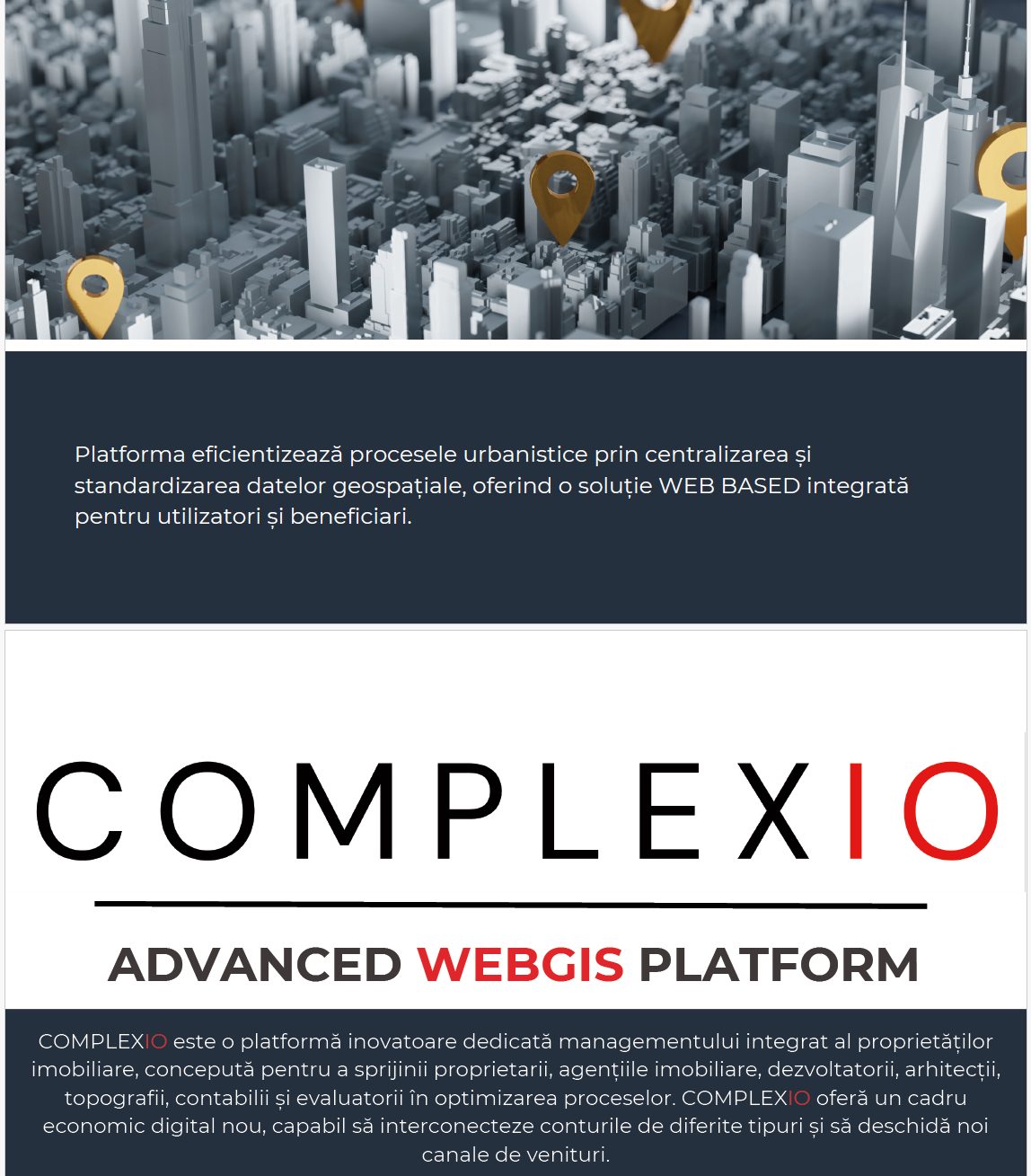
WEB GIS Advanced, AI-Assisted by COMPLEXIO
The innovative COMPLEXIO platform offers advanced solutions for the management and transformation of geospatial data, addressing urban and territorial planning needs. This WEB GIS system is assisted by artificial intelligence and has been designed to provide maximum efficiency and ease of use, having an extensive set of key capabilities to support professionals in the field to make informed and fast decisions.
Key Capabilities of the COMPLEXIO Platform
- GPKG File Standardization and Generation
- The platform allows the creation of GPKG files for General Urban Plans (PUG) and Zonal Urban Plans (PUZ), ensuring compliance with standardized geospatial formats and norms. This functionality guarantees the compliance of urban planning documentation with regulated requirements, contributing to better communication between authorities and stakeholders.
- Import and Read Multiple Formats
- COMPLEXIO supports importing and reading files in various formats such as CGXML, KML, SHP, DXF, and OBJ. This integration capability makes it easy to centralize and manage geospatial data from multiple sources, providing a unified view and comprehensive analysis.
- Transformations between Formats
- The platform includes file conversion features, such as converting CGXML files to KML. It simplifies the use of geospatial data in various applications and facilitates collaboration between different GIS systems, providing flexibility in sharing information.
- Multi-User Access
- COMPLEXIO allows for the management of multiple accounts, allowing teams to collaborate efficiently and securely on joint projects. Each user can have differentiated access to data and functionalities, depending on their role in the project, ensuring both security and effective collaboration.
- Specialized technical assistance
- Through COMPLEXIO, we offer specialized technical assistance in GIS through our support department. Thus, users can navigate smoothly in accordance with the legislative regulations on urban planning activity at national level, benefiting from guidance to comply with the current legislative framework.
- Real-Time Collaboration
- The platform facilitates real-time collaboration, allowing teams to view and edit General Urban Plans (GPPs) at various stages of development. Communication between beneficiaries and project teams can be done directly in the platform, and changes are visible instantly, eliminating the need for physical drawings and traditional servers for sharing information.
Benefits of using the COMPLEXIO platform
- Increased efficiency: AI support and automation capabilities enable efficient management of geospatial data, reducing the time and cost required for processing.
- Accessibility and Collaboration: Multi-user access and real-time collaboration contribute to effective communication between all actors involved, from urban planners and architects to local authorities.
- Standards Compliance: The platform ensures compliance with standardized formats and regulations in force, minimizing the risks related to the non-compliance of urban documentation.
- Flexibility in Use: COMPLEXIO offers support for multiple file formats and transformations between them, which allows for quick adaptation to the various requirements of urban planning and territorial planning projects.
COMPLEXIO Platform – Innovation for Modern Urbanism
COMPLEXIO is more than just a GIS tool – it's a platform that transforms the way geospatial data is managed and used. With the help of artificial intelligence and a collaborative approach, COMPLEXIO brings urban planning into the digital age, offering efficient, transparent and fully integrated solutions for your territorial planning and development needs.

You must be logged in to post a comment.